Aerial Drone Solution
We help researchers make informed decisions by carefully planning, capturing and generating Digital Maps, Point Clouds, Digital Elevation Models (DEMs) and 3D models from aerial images using drones with RGB and Multispectrum cameras.

Why choose us?
Image Capturing
We capture drone imagery using industry best standard and practices. Precision is enforced by using tested flight planners and laying of ground controls points.
Image Processing
Clients can opt in to have their images processed via a Software as a Service, or using any specific software which can be installed on our high-end computers locally or in cloud.
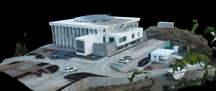
Report Generation
A variety of outputs can be generated. These include DSMs/DTMs, Orthomosaic, 3D models and Point Clouds. Outputs can be used on a local computer, uploaded to Google Earth Pro or any other GIS platform.